
Preliminary Flood Maps Available for Review
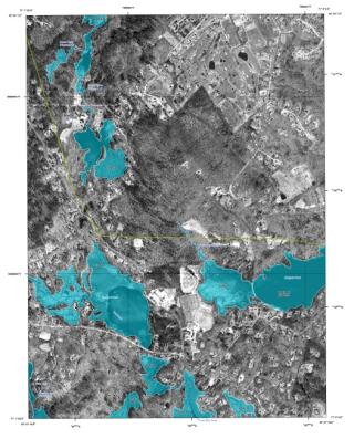
Please be advised that the Department of Homeland Security’s Federal Emergency Management Agency (FEMA) has published preliminary revised Flood Insurance Rate Maps (FIRMs) and a Flood Insurance Study (FIS) report for Boxford. The FIRM and FIS documents are often used to determine what regulations may apply to a particular piece of property, whether the property is in a flood hazard area, and whether flood insurance is required. The FIRM and FIS documents, and related notices, can be found on the Town of Boxford website: town.boxford.ma.us/flood-maps.
An appeal period relating to the preliminary FIRM and FIS documents will expire on or about November 26, 2023. Persons wishing to appeal the preliminary FIRM or FIS documents should contact Ross Povenmire (rpovenmire@town.boxford.ma.us) with scientific or technical data indicating that the preliminary FIRM or FIS documents are incorrect.
Here is a link to a viewer that will allow you to compare the current Floodmaps and the new (“preliminary”) floodmaps: https://app.mvpc.org/NationalFloodHazardViewer. Once the viewer is open, click on the “layers” tab and expand the “National Flood Hazard Layer Changes” to turn on and off layers and get a good understanding of how the changes might affect your property.
To view the current flood maps, please click HERE